
Gravel Stage Race - Route
Four Stages, Four Different Races.
Four stages. Four completely different tests. From the roar of Banchory's start line to the high gravel roads above Royal Deeside, the explorr Gravel Stage Race is built on the real terrain of the Cairngorms' edge. Expect punchy climbs, flowing forest tracks, wind-swept gravel highways and tactical sprint segments. Each stage tells a different story. Together they decide the race.
4.8km
161m
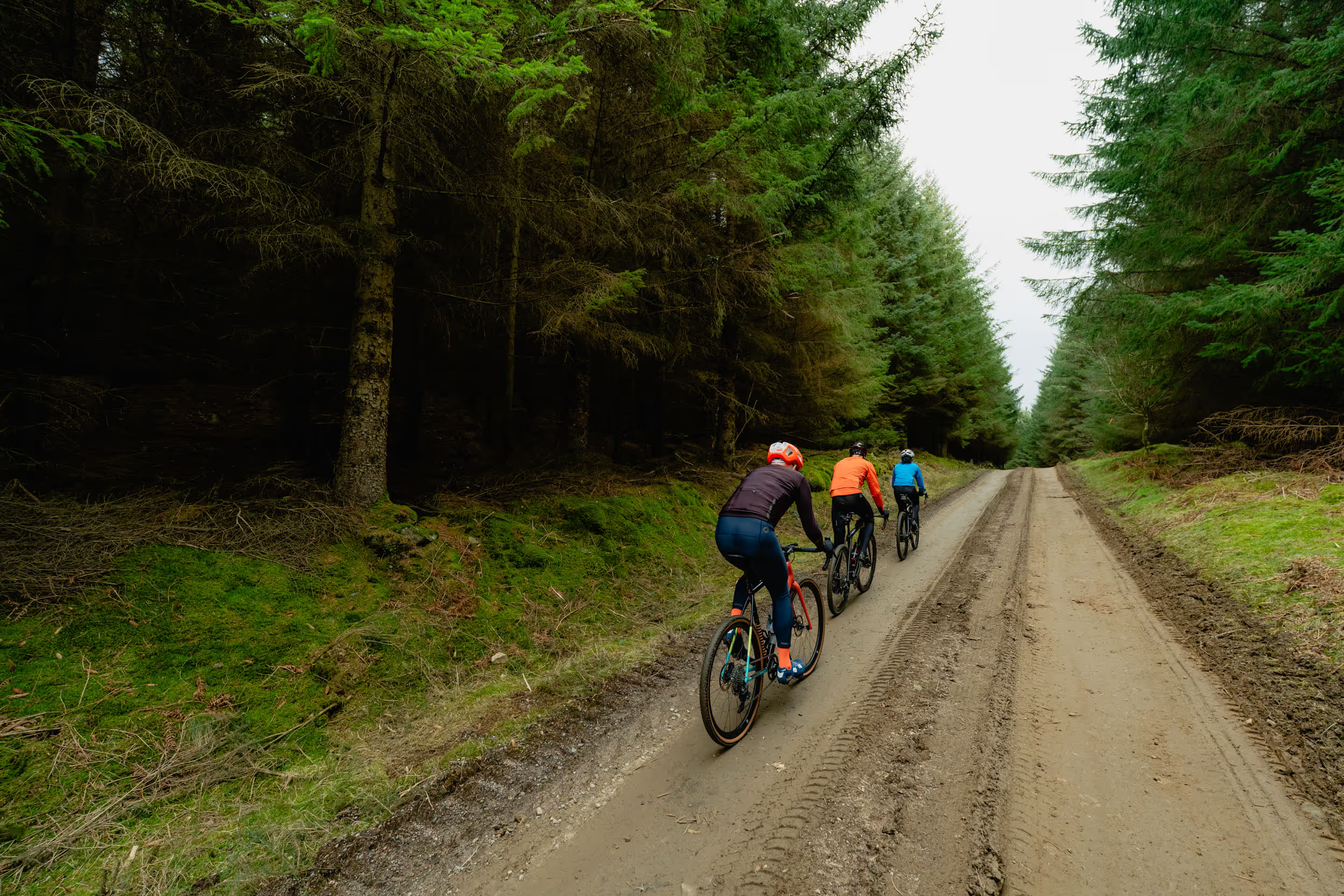
The race explodes into life from the heart of Banchory. Riders roll out onto closed roads through roaring crowds before the course tilts upwards into the first punchy climb of the mountain classification. From there the stage dives into deep forest, where smooth, fast gravel winds through dark pine corridors. Short, sharp and relentless, this stage sets the tone for the race.
- 1 Sprint Segment
- 1 Mountain Segment
10.7km
240m
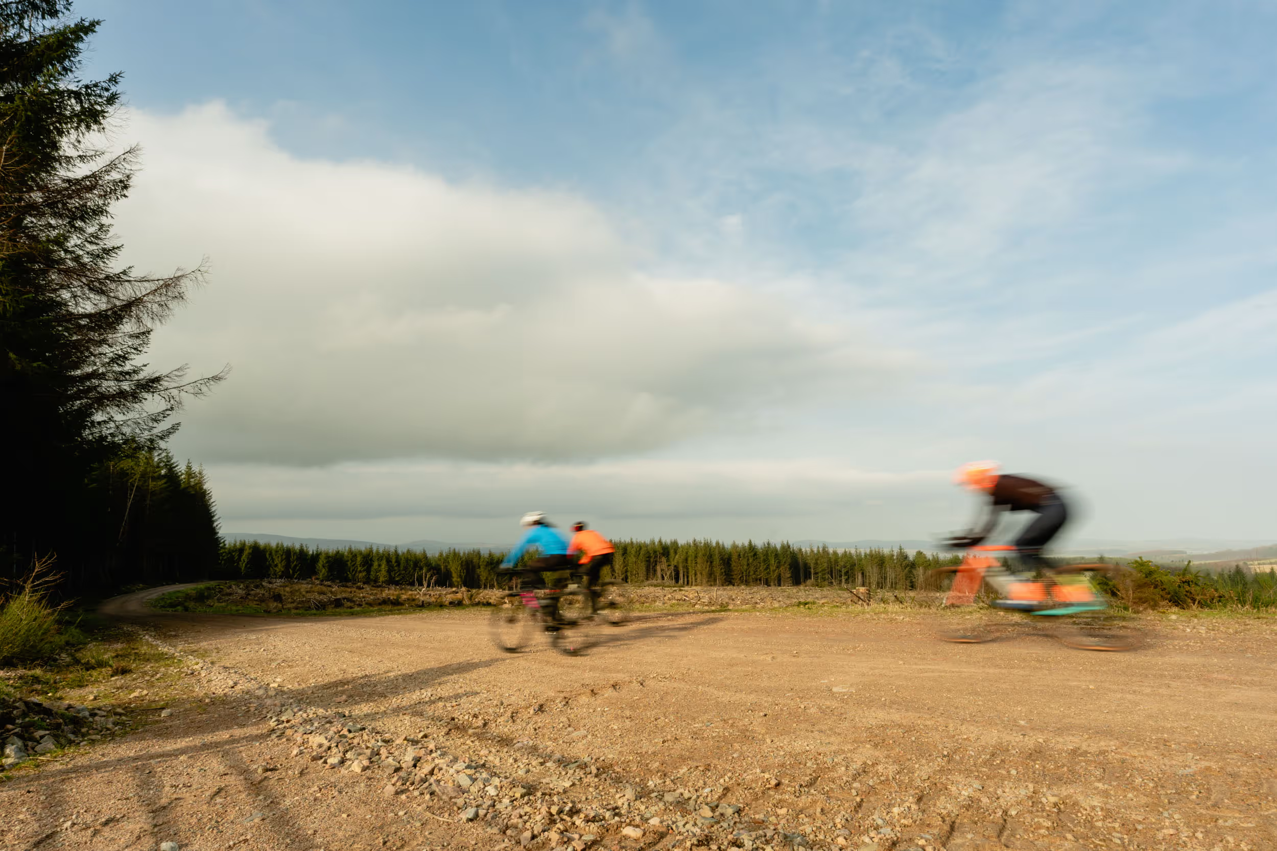
Stage two is a test of rhythm and climbing legs. A rough opening gravel sector quickly gives way to a long, steady ascent into the hills above Deeside. A short plateau hosts the first sprint segment of the race before the road tilts skyward again for a designated climb where valuable seconds can be gained. A fast descent then delivers riders to the finish.
- 1 Sprint Segment
- 1 Mountain Segment
50.9km
1,008m
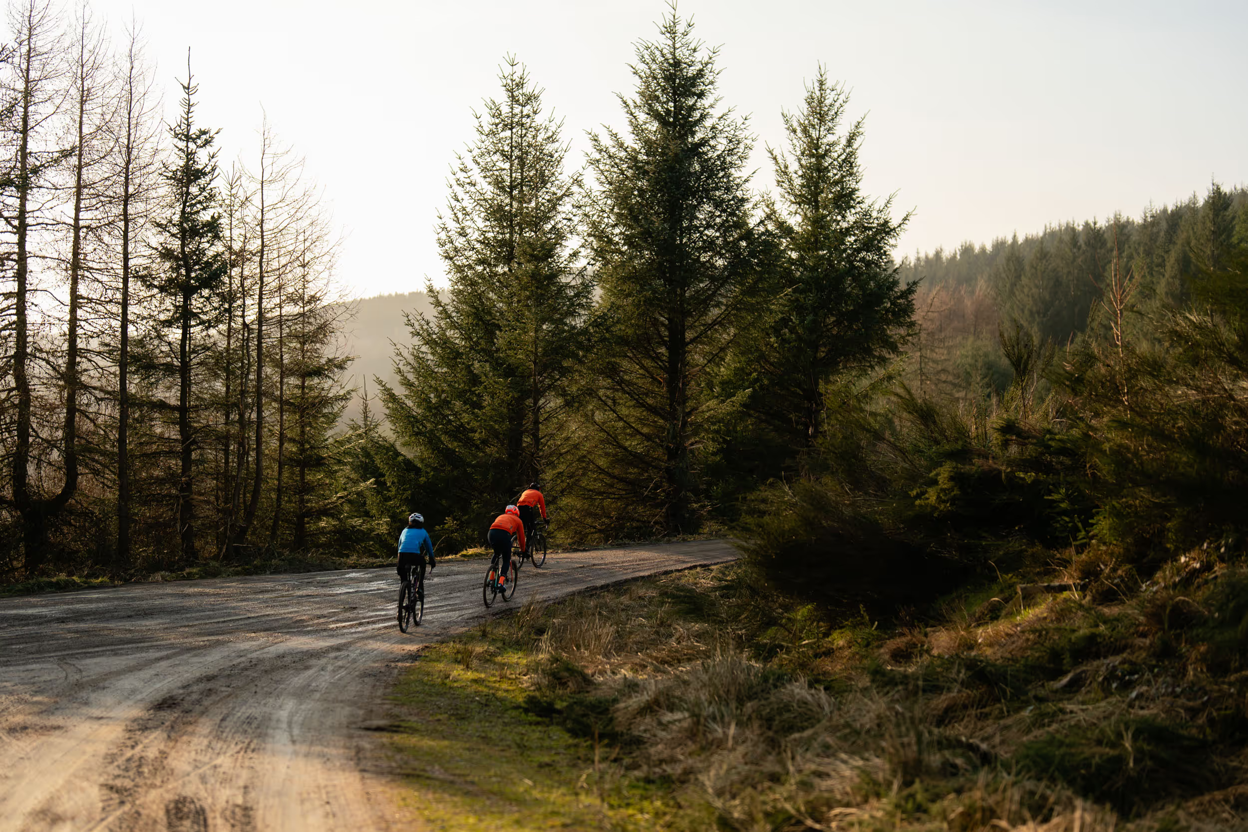
This is the stage that defines the race. Winding deep through Aberdeenshire forests and vast gravel tracks, riders climb more than 1000 metres across a relentless 50km route. Windfarm gravel highways, remote climbs and huge views towards the North Sea set the scene. With three mountain classifications and two sprint segments, this is where the race can be won or lost.
- 2 Sprint Segments
- 3 Mountain Segments
9.1km
61m
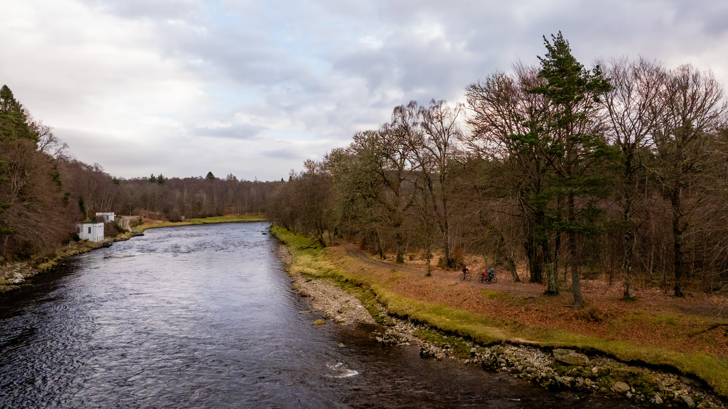
The final stage is fast, furious and built for drama. Dropping towards the River Dee, the route races along beautiful riverside gravel past some of Royal Deeside's finest scenery. One last sprint segment offers the final chance to gain precious seconds before riders charge back into Banchory on closed roads, finishing in front of the Event Village crowds.
- 1 Sprint Segment

Route Map & GPX
The map above breaks down all four timed stages and every sprint and mountain segment across the 120km route. For a closer look, the interactive route and a downloadable GPX file are below.
Planning a recce? The course is only closed, marshalled and fully signed on event day. Outside of the event, certain parts of the route may have access restrictions in place. Always follow on-the-ground signage, respect the Scottish Outdoor Access Code, and observe any other rules or restrictions covering sections of the route.